
Discovering Eureka!
- John-Michael Scurio

- Mar 11, 2020
- 3 min read
Updated: May 26, 2020
A Blog Series
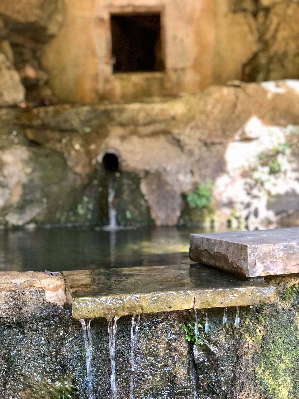
Eureka Springs was founded around and because of the natural springs located throughout the area. Early visitors who came seeking the healing powers of the natural spring waters in the 1830s camped around the springs in tents and wagons or other makeshift shelters. By 1879 when the city was formed, crude wood buildings were constructed, taking the place of tents.
By 1881 when the population of Eureka Springs had grown to 5,000 an article written about the city described: "Everywhere that a human abode could be constructed, houses of every description, tents and shelters, sprang up all over the mountain tops, hanging by corners on steep hillsides, perched upon jutting borders, spanning the gulches, or nestling under crags and in grottoes. It is a most peculiar looking place, presenting an apparent disregard to anything like order and regularity or arrangement, with its two-story streets, its winding thoroughfares and circular pathway."

Fire, floods and other natural forces contributed to the demise of most all of the city's earliest buildings. By the 1880s, new and substantial structures were being built and by the height of the city's popularity as a Victorian health resort during the 1890s the permanent character of the city was established.
The Eureka Springs Historic District conveys a strong sense of time and place as a Victorian Resort.
Built along steep mountainsides and in deep ravines, the structures of Eureka Springs present a unique adaptation of building in cohesion with an extreme natural landscape.

Eureka Springs lies in the extremely broken and irregular mountains midway between Northwest Arkansas' Boston and Ozark Mountain ranges. Located 1,700 feet above sea level, the climate of Eureka Springs is considered mild in winter and pleasant in summer. Nine miles from the Missouri state line, Eureka Springs is situated on the headwaters of Leatherwood Creek, a tributary of the White River.

Many references to the rugged terrain of Eureka Springs has been made through nicknames such as "The Town That Climbs The Mountain", "America's Little Switzerland", and "The Stairstep Town" as buildings and houses in Eureka Springs Historic District are stacked one behind the other, on twenty steep hills divided by nineteen ravines.
The original plat of the city laid out 238 streets and avenues, although a few of them were never opened. Streets were laid out following old paths of the Indians and animals, which had followed the path of least resistance to the old Indian Healing Spring. The buildings that comprise the Eureka Springs Historic District are located on 100+ winding streets that take on various shapes like a S, V and an O.

87% of the 967 properties in the Eureka Springs Historic District were built as residences. The historic district contains 101 commercial buildings, twelve churches, five public buildings and fifteen springs with varying types of features such as gazebos, grottoes, and elaborate landscaping. Historic landscape features such as limestone block walls and sidewalks throughout the city, sets of public stairs, and walking paths are a significant part of the overall character of Eureka Springs Historic District.


For eight historic walking tours of Eureka Springs, see "Walk Eureka Springs: Exploring Eureka Springs Historic Structures," published by the Eureka Springs Preservation Society and available at the Eureka Springs Historical Museum.
Discovering Eureka is a blog series where we seek to discover the unique things that make up Eureka Springs. There is so much to see, experience and explore here in Eureka Springs and in this series we will take time to give you the local perspective on what to do, where to go, what to see and how did this become something significant for our town.


